UN
189 Ham Drive
£ 105,000
Description
We don't have a Description for this property.
- Bedrooms
- 2
- Bathrooms
- 0
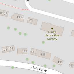
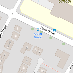

Leaflet © OpenStreetMap contributors
The heatmap indicates the level of crime in the area. The color of the heatmap indicates the crime severity and recency.
Metrics Year-on-Year
- Average area value
- 230,314.00 £Increased by 7.40 %
- Average area rental value
- 1,183.00 £/moIncreased by 13.64 %
- Est rental Yield
- 6.16 %Increased by 5.66 %
- Crime Rate
- 4.00 %Unchanged by 0.00 %
from 214,439.00 £
from 1,041.00 £/mo
from 5.83 %
from 4.00 %
Nearby Schools
| Name | Type | Ofsted | Distance |
|---|---|---|---|
| Pennycross Primary School | Community School | Good | 0.21 KM |
| Popin Children'S Centre | Children's Centre | 0.43 KM | |
| All Saints Church Of England Academy | Academy Sponsor Led | Requires improvement | 0.60 KM |
| Devonport High School For Girls | Academy Converter | Good | 0.64 KM |
| Montpelier Primary School | Academy Converter | Good | 0.65 KM |
Images
Nearby Streets
| Name | Average Price | Average Sqft | Distance |
|---|---|---|---|
| Beacon Park Road | £ 0 | 0 | 0.00 KM |
| Recreation Road | £ 335,000 | 0 | 0.00 KM |
| Saint Boniface Close | £ 140,000 | 0 | 0.00 KM |
| Lyndhurst Close | £ 370,000 | 0 | 0.00 KM |
| Rosedale Avenue | £ 275,000 | 0 | 0.00 KM |
Nearby Transport
| Name | NLC | TLC | Distance |
|---|---|---|---|
| Plymouth | 3580 | PLY | 2.53 KM |
| Devonport | 3579 | DPT | 2.90 KM |
| Keyham | 3571 | KEY | 3.03 KM |
| Dockyard (Devonport) | 3588 | DOC | 3.05 KM |
| St Budeaux Ferry Road | 3590 | SBF | 3.70 KM |
Nearby Listings
| Address | Price | Type | Score | Distance |
|---|---|---|---|---|
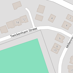
| Twickenham Street, Plymouth, Devon, PL2 | £ 450,000 | BUY | 7 / 10 | 0.08 KM |
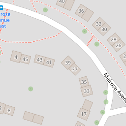
| Melrose Avenue, Ham | £ 175,000 | BUY | 5 / 10 | 0.14 KM |
| Melrose Avenue, Plymouth, Devon, PL2 | £ 155,000 | BUY | Unknown | 0.14 KM |
| Murrayfield Close, Plymouth, Devon, PL2 | £ 350,000 | BUY | 6 / 10 | 0.17 KM |
| Murrayfield Close, Plymouth, Devon | £ 475,000 | BUY | 7 / 10 | 0.17 KM |
Nearby Properties
| Address | Price | Distance |
|---|---|---|
| 181 Ham Drive | £ 122,000 | 0.00 KM |
| 191 Ham Drive | £ 215,000 | 0.00 KM |
| 189 Ham Drive | £ 105,000 | 0.00 KM |
| 11 Springhill Green | £ 87,500 | 0.04 KM |
| 101 Melrose Avenue | £ 135,950 | 0.14 KM |